What a projection gives up
You cannot flatten a curved surface without tearing or stretching it. Every projection therefore preserves at most one of angle, area and distance, and wrecks the others — which makes the choice a statement about what the map is for.

Eight from the register
One entry from each section — kept against wreckedFour times as many, every step down
Tile counts in a zoom pyramidEvery map projection preserves some geometric property at the cost of distorting others.
What a projection gives upFigure 01
Three places this register keeps returning to, plotted at their true coordinates: the origin every mismatched file collapses onto, the meridian the norths are measured from, and a mark set in the ground.
Real geometry, unprojected labels. Pins: Greenwich, Quito, Null Island.
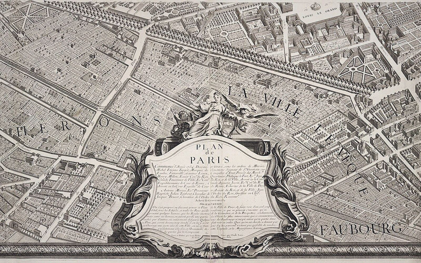 Plate 02
One sheet of the Turgot plan of Paris. The city was published as a set of sheets because no single sheet could hold it at this detail.
Photo: Turgot plan of Paris, sheet 18–19 · Norman B. Leventhal Map Center
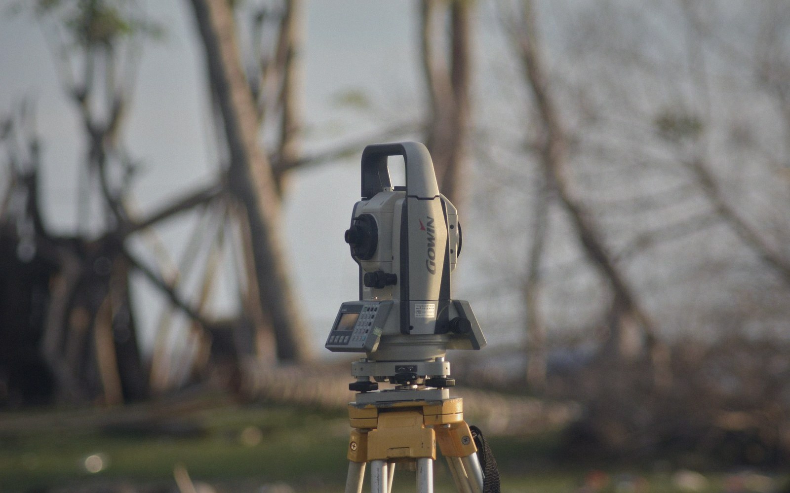 Plate 03
The instrument reports angles and distances. Everything on the finished map is a computation from readings like these.
Photo: Khoiru Ummah Kendari 24 / Pexels