04
Section 04
Tiles & Zoom
Why the map arrives in squares.
4 entries. Each one names what the choice keeps and what it wrecks.
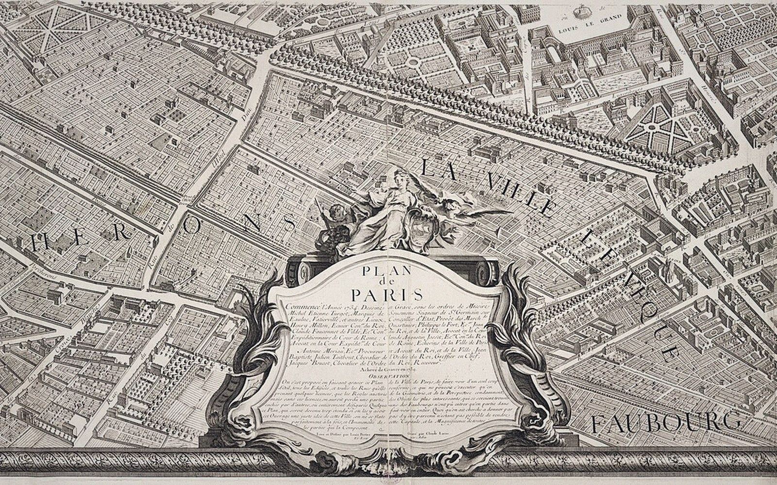 Plate 01
One sheet of the Turgot plan of Paris. The city was published as a set of sheets because no single sheet could hold it at this detail.
Photo: Turgot plan of Paris, sheet 18–19 · Norman B. Leventhal Map Center
The entries
Why the map arrives in squares
Fixed-size images on a fixed grid cache well and can be served by anything. The whole delivery model follows from that.
The pyramid, level by level
Each level down holds four times as many tiles as the one above it.
Resolution at the equator
Ground distance per pixel is quoted there and is smaller everywhere else.
Seams, labels and edges
Features that cross a tile boundary are the hard case.
Next section — 05 Vector & Raster
Go there