 Plate 01
Sixty zones, six degrees each
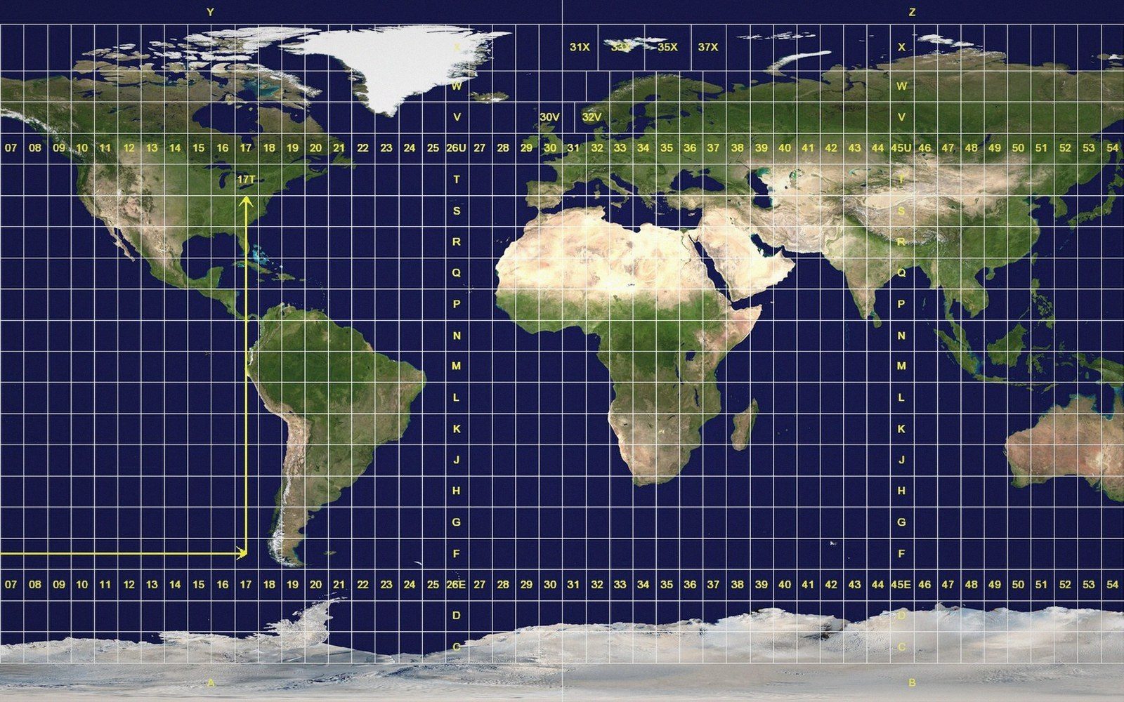
The Universal Transverse Mercator grid solves the distortion problem and creates a boundary problem in the same move.
Sixty zones, six degrees each. Inside one, metres behave; across a boundary the grid changes underneath the data.
Photo: Utm-zones · Wikimedia Commons
How the grid works
Transverse Mercator projection works by rotating the cylinder so it touches the globe along a meridian rather than the equator. Near that central meridian, distortion is minimal and the scale error stays within a fraction of a percent. Push far enough east or west, though, and the error climbs fast — the conformal projection that preserves angles sacrifices area and distance as you move off-axis.
The UTM solution is to repeat the projection sixty times, each copy six degrees of longitude wide, each with its own central meridian. Every zone gets its own origin, its own false easting of 500,000 metres, and its own coordinate grid. Within a zone the math is clean: distances, bearings and areas computed from UTM coordinates are reliable for most engineering and mapping purposes. Scale factor at the central meridian is 0.9996 — a deliberate slight reduction so that the zone's edges gain what the centre gives up, keeping the worst error below 1 in 1,000 across the whole six-degree band.
Zones are numbered 1 through 60 eastward from the 180° meridian, with a separate letter code for latitude bands. The full reference — zone number, hemisphere, easting and northing — uniquely places any point on Earth except the polar caps, which UTM leaves to the Universal Polar Stereographic system.

Where it breaks down
The elegance collapses the moment a feature crosses a zone boundary. A road, a river, a nation whose territory straddles the line now lives in two coordinate systems that share no common grid. Easting and northing figures in Zone 32 mean something completely different from the same numbers in Zone 33. Joining them requires reprojecting into a common system first, and any computation that naively concatenates coordinates across zones will be wrong by hundreds of metres or more.
Some regions have bent the rules to cope. Norway and Svalbard carry special zone exceptions in the standard; several national systems adopt widened zones — twelve degrees instead of six — to keep a country in one grid. These are pragmatic patches on a framework that was designed around the zone as the unit of use, not the project area.
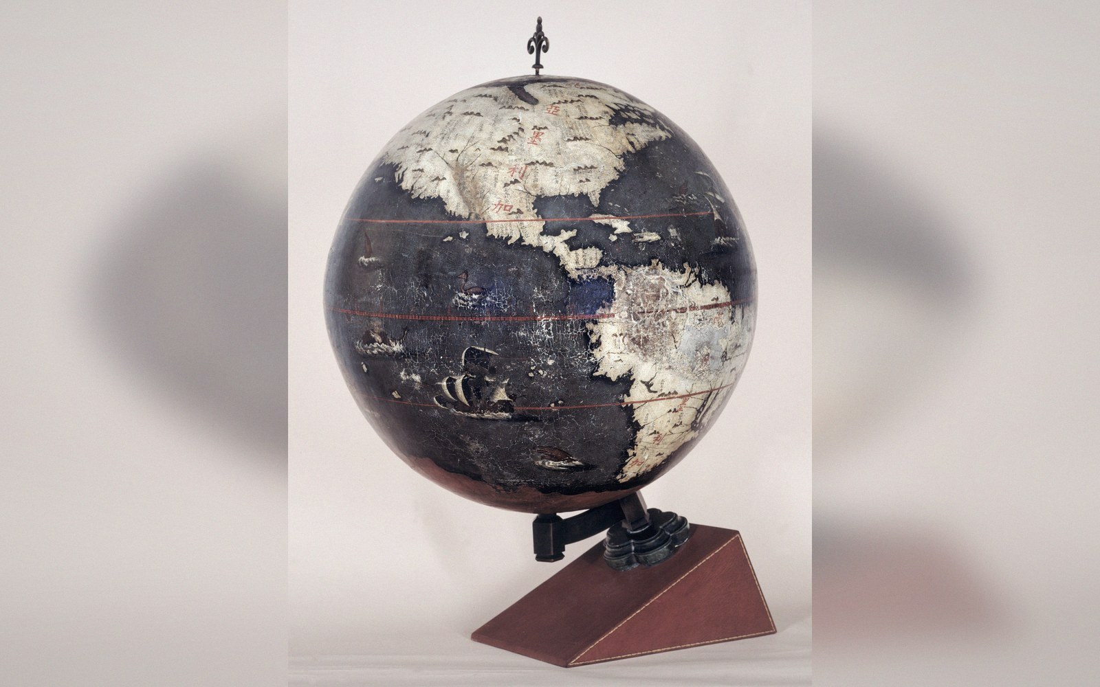 Plate 2
On a globe nothing has to be stretched. Every problem in this register begins when the surface is flattened.
Photo: Longobardo-Dias terrestrial globe · Wikimedia Commons
The discipline UTM demands is therefore straightforward: know which zone your data sits in before you do any arithmetic, and reproject before you cross the boundary. A coordinate without a zone number is, for practical purposes, ambiguous. The grid that makes computation easy inside a zone makes nothing easy between two of them.
Also in Datums & Coordinates