 Plate 01
Choosing for a continent
The continent's own geometry tells you which projection to reach for — preference barely enters it.
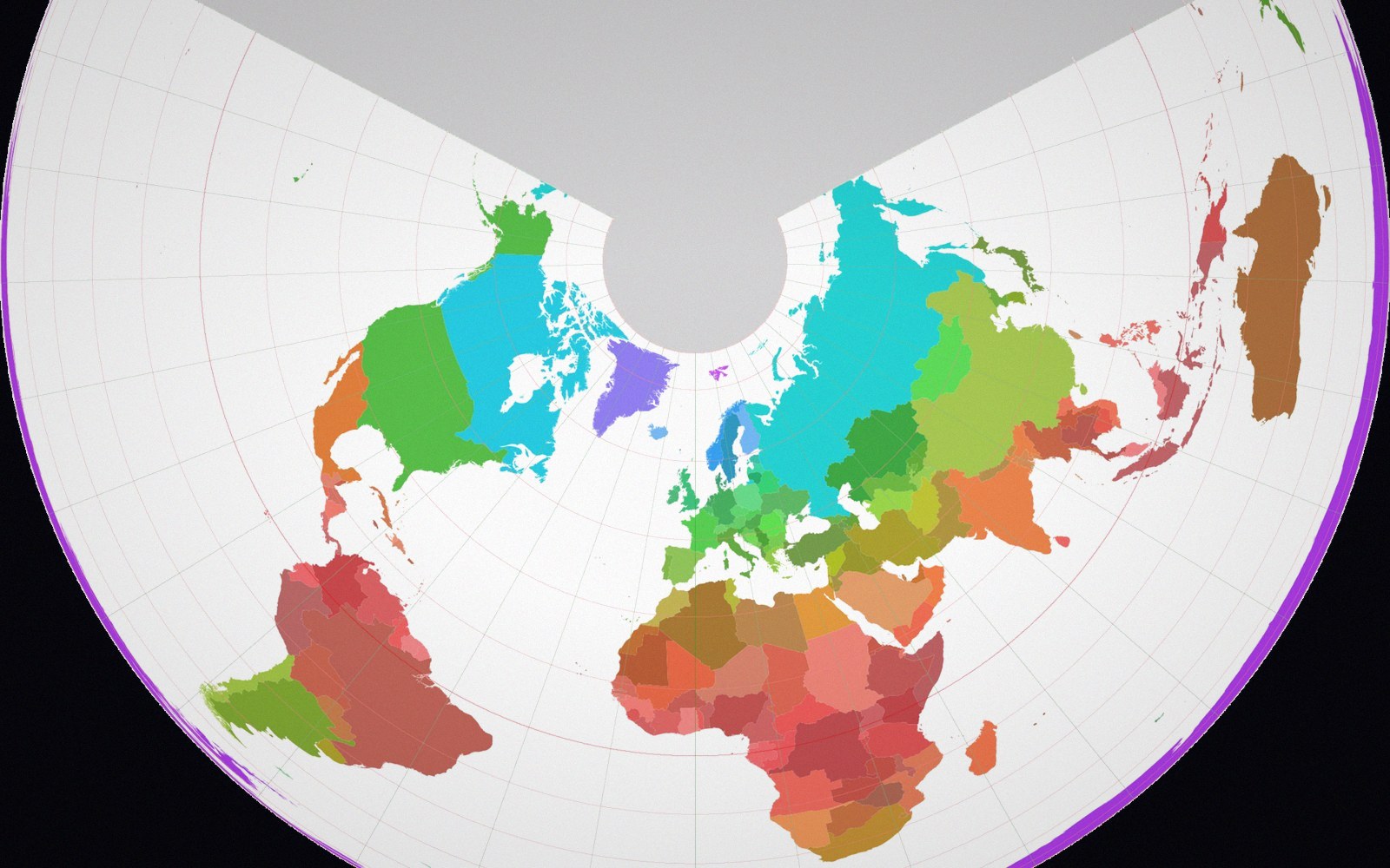
World borders on an Albers equal-area projection: the conic family, fitted to the latitudes it has to cover.
Photo: World borders albers · Wikimedia Commons
The geometry decides
Latitude range and shape are the two controlling facts. A continent centred near a pole — Antarctica, or Greenland taken alone — sits in a region where meridians converge sharply, and a polar azimuthal projection follows that convergence honestly. A continent straddling the equator — Africa, South America — spreads east–west with relatively little polar pull, and a cylindrical or conic projection with a standard line near the equator serves it better.
Shape is the second constraint. A wide, squat landmass — Russia, the contiguous United States, Canada — has its long axis running east–west across mid-latitudes. That geometry suits a conic: the Lambert Conformal Conic for shape-critical work, the Albers Equal-Area Conic where area comparisons matter. Both place two standard parallels across the breadth of the landmass, bracketing it rather than piercing it at a single line, which keeps distortion inside tolerable bounds across the whole extent. A tall, narrow continent — Chile, the Korean Peninsula taken as a sub-continental unit — calls for a different answer: its long axis is meridional, and a transverse arrangement handles that better.
The equatorial continents illustrate the same logic from the other direction. Africa is nearly as tall as it is wide and sits symmetrically about the equator, which makes the choice genuinely open; the Lambert Azimuthal Equal-Area centred on the continent's middle is a common and defensible answer, particularly where area matters. Australia, compact and mid-latitude, is well served by a conic with standard parallels chosen to minimise distortion across its interior.
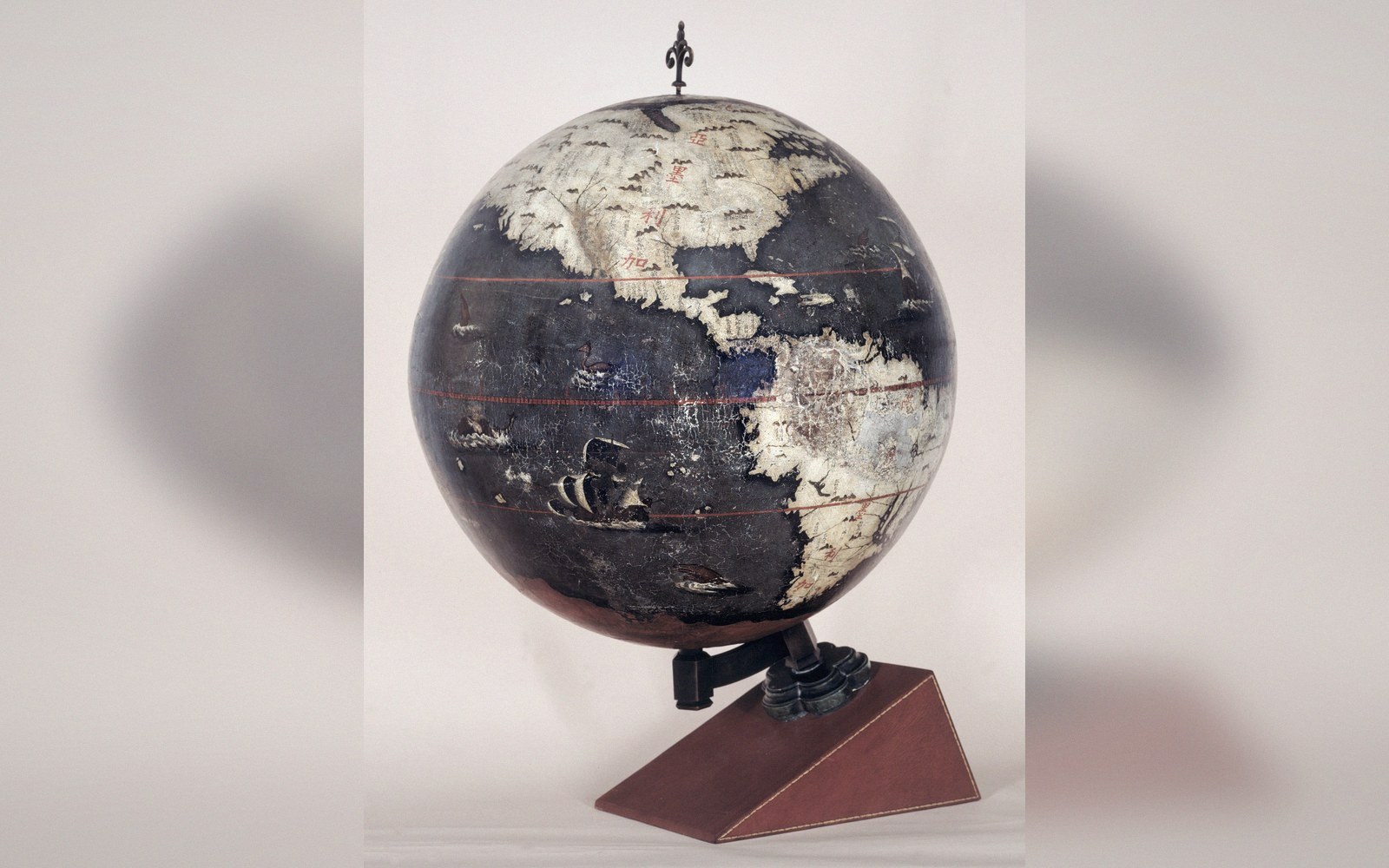 Plate 2
On a globe nothing has to be stretched. Every problem in this register begins when the surface is flattened.
Photo: Longobardo-Dias terrestrial globe · Wikimedia Commons

What none of this is about is taste or convention. A projection earns its place because what it gives up in one property is the thing the map least needs. For a thematic map of disease rates across Europe, you want area preserved — Albers. For a navigational chart of the North Atlantic, you want angles — Lambert Conformal. The continent's latitude and aspect narrow the candidates; the map's purpose closes the choice.
Also in Projections