 Plate 01
Conformal, equal-area, equidistant
Three properties, three families of projection, and the geometry that makes them mutually exclusive.
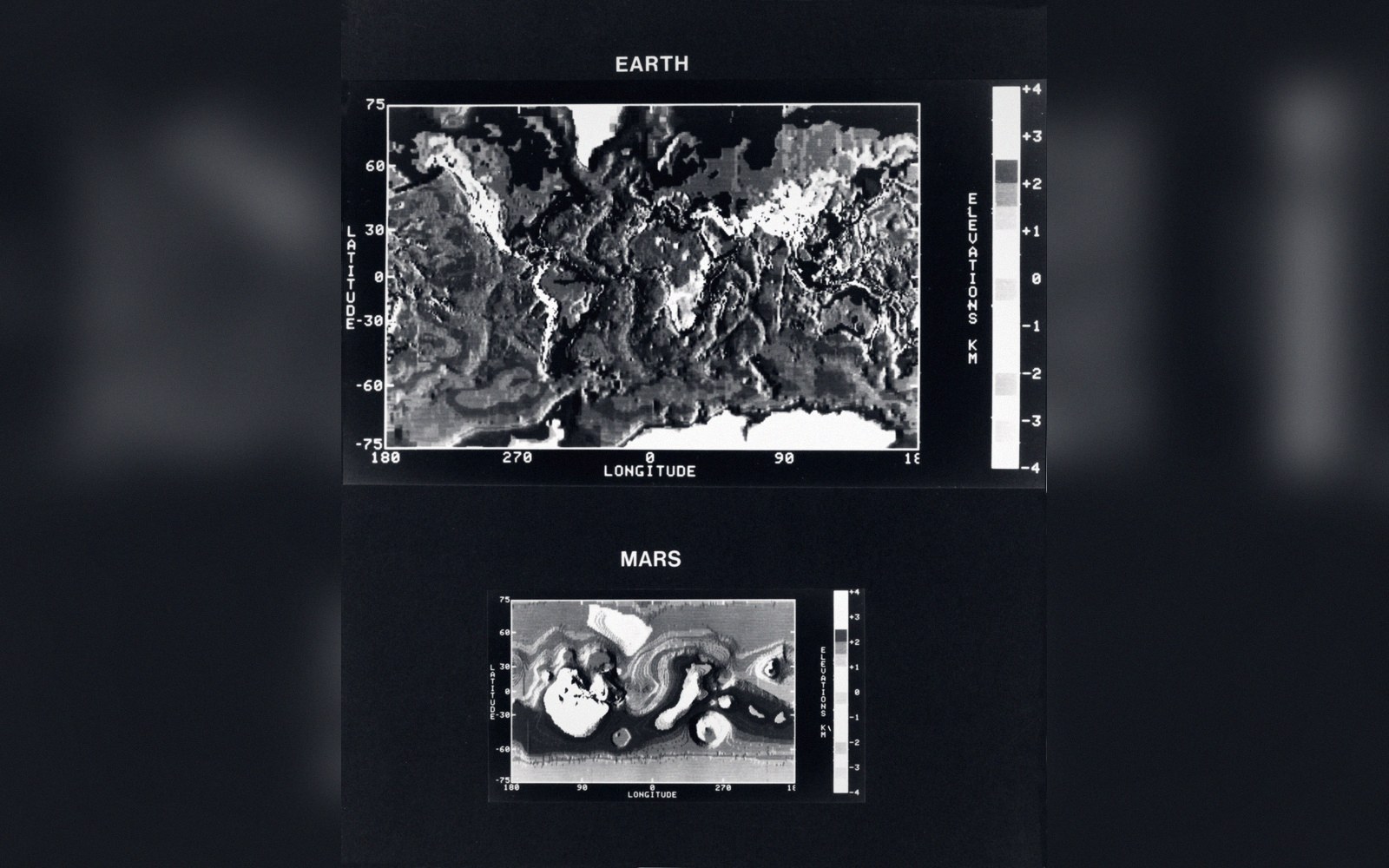
Earth and Mars mapped to the same scheme. The two are comparable only because the projection is held constant.
Photo: Mars and Earth Map Comparison · Wikimedia Commons
What each one keeps
A projection can be built around a promise. Conformal projections keep angles: any small shape on the globe — a bay, a grid square, a tiny triangle — arrives on the flat sheet with its angles intact. Because angles and local shape are the same thing at small scale, conformal projections look locally correct. Meridians and parallels meet at right angles, just as they do on the sphere. The Mercator is the canonical example: sailors trusted it because a straight line on that sheet is a line of constant bearing, which is only possible because angles are preserved everywhere.
Equal-area projections keep surface area. Every patch of the globe occupies the same fraction of the sheet as it does of the real Earth. The Albers conic and the cylindrical equal-area projections work this way, as does the Mollweide — a favourite for world thematic maps precisely because a dot or a shaded region on that sheet represents the same real-world area wherever it sits. When two stories from the same dataset hinge on the apparent size of regions, the projection choice is not cosmetic: it is the denominator.
Equidistant projections keep distances, but only in one direction. From a chosen point, or along chosen parallels or meridians, measured distances are true to scale. The azimuthal equidistant centred on a city is often used for airline route diagrams: every city on the sheet is at its correct distance from the centre, and the map wraps around that one true point. Move off-centre, however, and the guarantee vanishes.
Why none of the three can coexist
The conflict is not a practical limitation but a geometric proof. Carl Friedrich Gauss showed in the early nineteenth century that a sphere cannot be mapped to a plane without distortion — the surfaces have fundamentally different curvature. What follows is that you cannot build a projection that satisfies two of the three properties simultaneously, at least not everywhere across the sheet.
Conformality demands that the scale be equal in all directions at every point — it can vary from point to point, but it must be locally isotropic. Equal area demands instead that wherever scale expands in one direction it contracts in the perpendicular direction by exactly the same factor, keeping the product constant. These two demands are contradictory: you cannot have locally isotropic scale and keep the area product fixed at the same time. The indicatrix makes this visible — on a conformal projection, Tissot's circles stay circular but grow or shrink across the sheet; on an equal-area projection, they stay the same area but deform into ellipses.
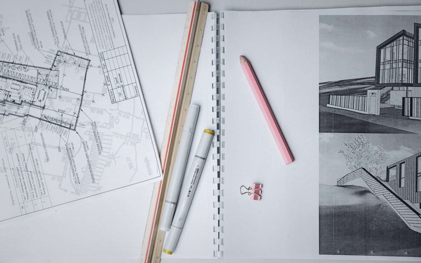 Plate 2
Line weight was a physical choice before it was a style rule — one nib, one width, and the hierarchy came from the set.
Photo: Thirdman / Pexels
Equidistance is softer than either. It does not preserve angles or areas globally; it simply fixes distances along one set of lines and accepts distortion everywhere else. Because it is a partial rather than a global guarantee, it can live alongside conformality or equal area along specific lines — but only along them, not across the whole map.
Choosing between them
The choice is settled by what the map must communicate. Navigation and surveying lean conformal: angles are operationally useful. Thematic cartography — showing disease rates, deforestation, electoral results — demands equal area: the reader's eye compares region sizes instinctively. Equidistant projections suit maps built around a single reference point or line, where knowing true distance from that anchor matters more than shape or area elsewhere.
What the choice cannot do is hedge. A compromise projection — the Robinson, the Winkel Tripel — minimises all distortions without eliminating any. It is not a fourth family; it is a deliberate decision to be slightly wrong in every respect rather than exactly right in one. For a reference wall map that must look plausible from across a room, that is often the honest answer. For a map that makes a spatial argument, picking a side is the only rigorous option.
Also in Projections