02
Section 02
Datums & Coordinates
Where a coordinate actually refers to.
4 entries. Each one names what the choice keeps and what it wrecks.
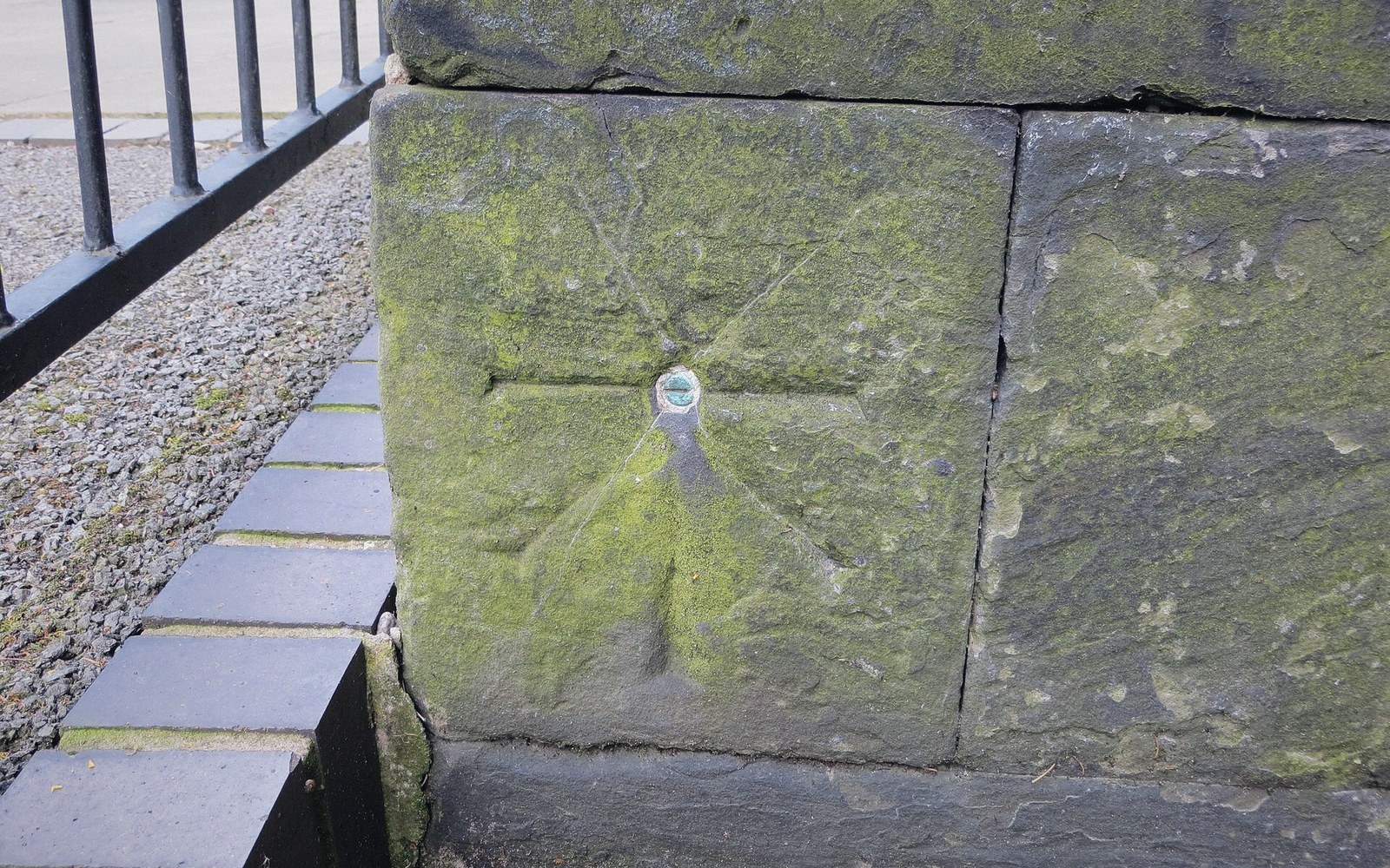 Plate 01
A cut mark fixes a height by agreement. Revise the agreement and every level surveyed from it moves with it.
Photo: Ordnance Survey cut mark with bolt · Wikimedia Commons
The entries
The Gulf of Guinea problem
Coordinates that default to zero land at the origin, off West Africa. The commonest sign that a coordinate system was never set.
Ellipsoid and geoid
One is a smooth mathematical figure, the other is where gravity actually is. Height depends on which you mean.
Latitude first, or longitude first
Two conventions in wide use, and the axis swap that follows.
Sixty zones, six degrees each
A projected grid that works well inside a zone and badly across one.
Next section — 03 Scale & Generalisation
Go there