 Plate 01
Three norths
A north arrow on a finished map carries one of three possible meanings, and conflating them is a quiet, persistent error.
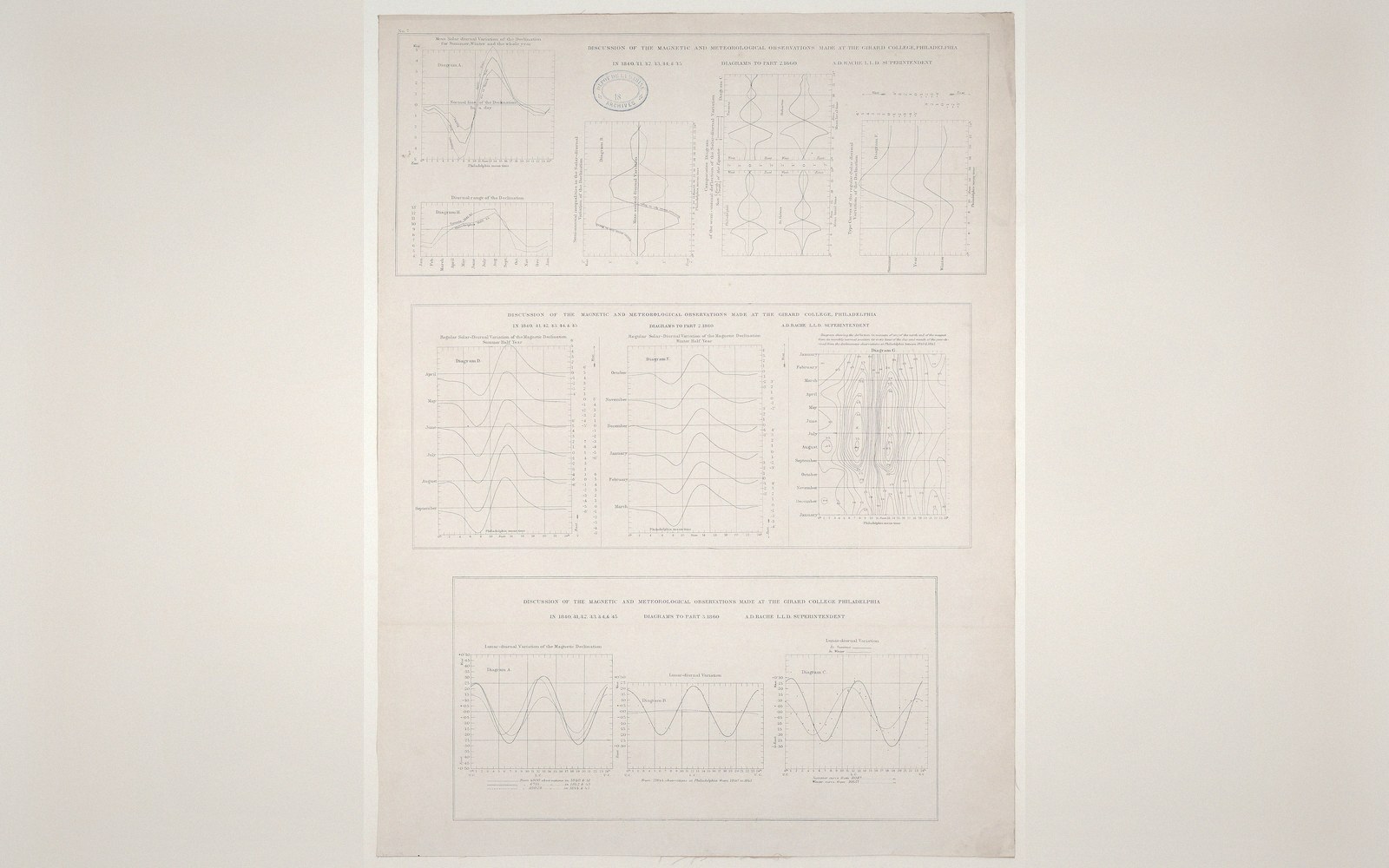
Magnetic declination changes with place and over time, which is why a sheet states the angle rather than drawing one arrow.
Photo: Diagrams of magnetic declination, A. D. Bache · Wikimedia Commons
The Angles That Separate Them
True north is the direction toward the geographic North Pole — the axis around which the Earth rotates. Every meridian runs toward it, which means true north is not constant across a flat sheet: on a conic or cylindrical projection, the meridians converge or fan, and only the central meridian points straight up.
Grid north is the "up" direction of the projected coordinate grid. On a UTM sheet, for instance, grid north is parallel to the central meridian of the zone — straight vertical lines on the map — and it matches true north only along that meridian. Away from it, the angle between grid and true north, called the meridian convergence, grows with distance. At the edge of a six-degree-wide UTM zone, convergence can reach three degrees or more. Small on a city plan; significant on a regional survey.
Magnetic north is where a compass needle points — the dipping, drifting magnetic pole that wanders across the Canadian Arctic and is currently tracking toward Siberia. The angle between magnetic north and true north is called magnetic declination (or variation in navigation). It changes with location, and it changes with time; the World Magnetic Model, maintained jointly by NOAA and the British Geological Survey, is updated every five years precisely because the drift is continuous and measurable. A declination figure printed on a map ages the moment the ink dries.
The angle between grid north and magnetic north is grid magnetic angle — the one a soldier or field surveyor actually needs when moving with a map and compass. It is the sum or difference of the other two, depending on which side of the central meridian you are standing.
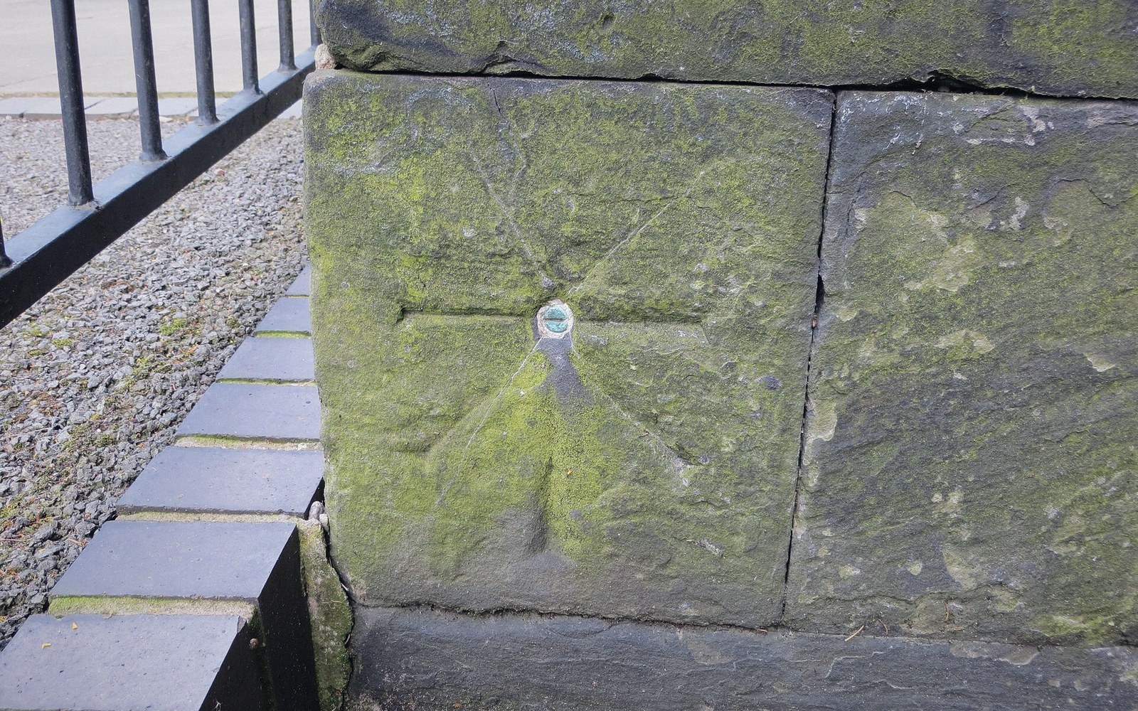 Plate 2
A cut mark fixes a height by agreement. Revise the agreement and every level surveyed from it moves with it.
Photo: Ordnance Survey cut mark with bolt · Wikimedia Commons
What Goes on the Map
Most topographic series — Ordnance Survey, USGS 7.5-minute quadrangles, IGN — print a small three-pronged diagram showing all three norths with their angles at the map's date of publication. The critical detail is the publication date; a user consulting an old sheet must look up the current declination separately.
Web maps sidestep magnetic north entirely (a screen has no compass needle) but the convergence question does not disappear. A north arrow on a web Mercator map points to true north everywhere, because Mercator meridians are parallel vertical lines; grid north and true north coincide across the whole map.

The practical rule: always state which north your arrow represents, and if the map will be used with a compass, always date the declination.
The three places this register keeps returning to, plotted at their true coordinates rather than sketched.
Drawn from the register’s own geometry — real coordinates, unprojected labels. Pins: Greenwich, Quito, Null Island.
Also in Map Furniture