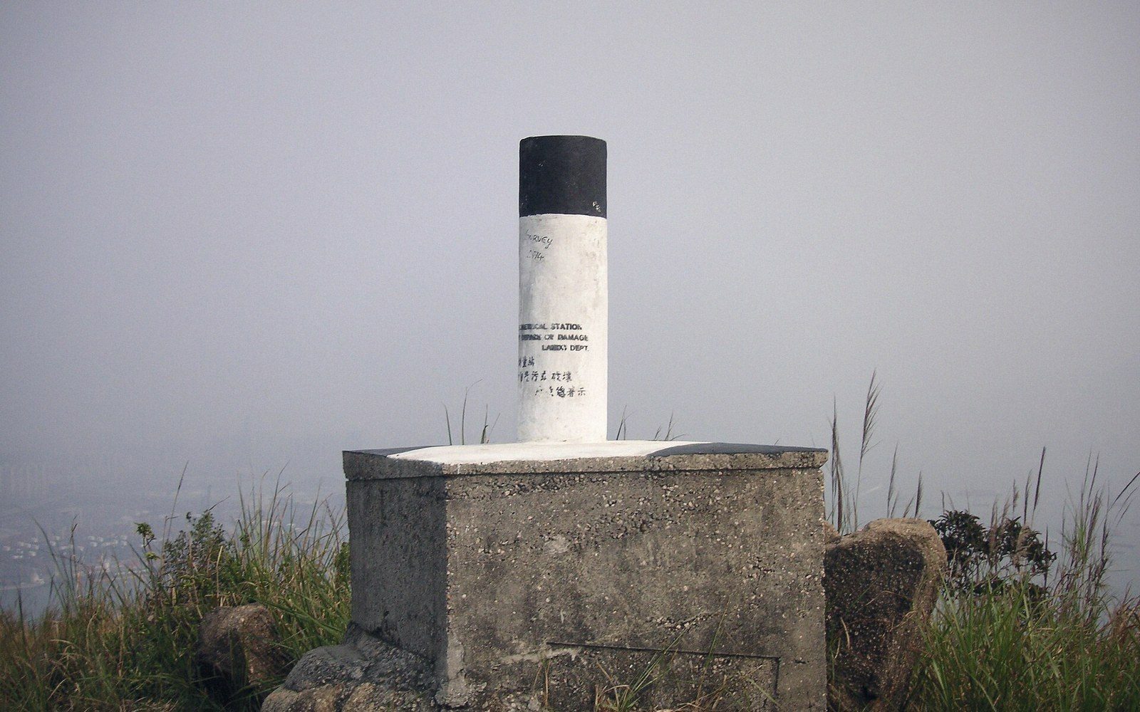
 Plate 01
What a benchmark agrees to
A mark in the ground is not a measurement — it is a promise that a measurement was made.
A pillar states a position by agreement, and the agreement is revised more often than the pillar is moved.
Photo: Trigonometrical station · Wikimedia Commons
The agreement buried in the brass
A benchmark is a physical mark — a brass disk, a chiselled square, a bolt set in bedrock — whose height above a defined datum has been precisely levelled. Surveyors accept that value and build from it, which makes the mark less a measurement than a shared assumption: everyone who uses it agrees to work from the same starting point, whether or not that starting point is correct in any absolute sense.
What the mark actually holds is a height within a vertical datum — classically, mean sea level as realised at a particular tide gauge over a particular span of years. In the United States, that realisation is the North American Vertical Datum of 1988 (NAVD 88), which replaced the older NGVD 29 when accumulated levelling errors and post-glacial rebound had made the original network inconsistent enough to matter. The two datums disagree by amounts ranging from a few centimetres to well over a metre depending on location — enough to send a drainage engineer's calculations the wrong way.
That shift is the key lesson. The benchmark did not move; the agreement it encoded was revised. A mark stamped with an elevation carries an implicit footnote: valid under the datum in force at the time of the last adjustment. When the network is readjusted, published elevations change across the board even though nothing physical happened to the marks. The ellipsoid and geoid relationship compounds this: a GNSS receiver gives ellipsoidal height, not the orthometric height the benchmark holds, so converting between them depends entirely on a geoid model that is itself periodically updated.

Fieldwork also ages. A mark set in 1950s concrete on a subsiding floodplain may retain its official elevation long after it has physically sunk. National geodetic agencies publish datasheets with quality codes and "mark condition" notes precisely because occupation — traffic vibration, frost heave, construction — degrades stability over time. A mark rated "poor" is not a reliable starting point regardless of its listed value.
 Plate 2
A surveyor and a total station. The numbers a map is drawn from begin here, not on the screen.
Photo: Ferhat Kocakaya / Pexels
The practical obligation for anyone tying a survey into the control network is therefore not just to find a benchmark but to check which adjustment its elevation belongs to and when it was last verified. A mark is a shared assumption, and assumptions have a shelf life.
Also in Survey & Measurement